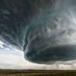
A group of stormchasers captured some beautiful and terrifying footage of a supercell thunderstorm developing over Wyoming this weekend.
As far as thunderstorms go, supercells are the least common, but they’re responsible for most of the violent tornadoes in the U.S. In addition to extreme winds, they also dump torrential rain and hailstones that are bigger than golf balls — causing flash floods and a whole lot of damage. Their rising, spinning vortices of air — rotating updrafts called mesocyclones — can reach speeds of over 100 miles an hour (about 160 km/h) and sometimes last hours.
The Basehunters out of Norman, Oklahoma, created this epic time-lapse video from Wright to Newcastle in the northwestern part of Wyoming on Sunday.
Some degree of buoyancy is required, although the most critical ingredients for a supercell are moderate to strong wind speed and directional shear between the surface and about 20,000 feet (or 6 km).
For even more photos, check out tweets from @Basehunters and the Capital Weather Gang’s chasers, @islivingston @markellinwood @wxmeddler.
[Via Washington Post, Slate]
Image: Colt Forney/Basehunters
Video: Basehunters


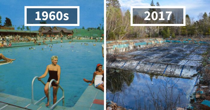 Photographer Finds Locations Of 1960s Postcards To See How They Look Today, And The Difference Is Unbelievable
  Hij zet 3 IKEA kastjes tegen elkaar aan en maakt dit voor zijn vrouw…Wat een gaaf resultaat!!
 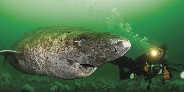 Scientists Discover 512-Year-Old Shark, Which Would Be The Oldest Living Vertebrate On The Planet
  Hus til salg er kun 22 kvadratmeter – men vent til du ser det indvendigt
  Superknepet – så blir snuskiga ugnsformen som ny igen!
 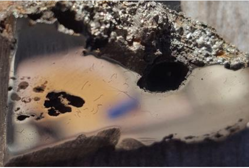 Meteorite That Recently Fell in Somalia Turns Out to Contain Two Minerals Never Before Seen on Earth
 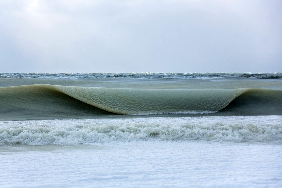 Nearly Frozen Waves Captured On Camera By Nantucket Photographer
 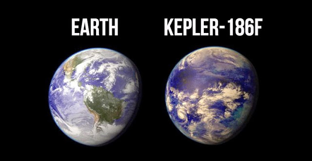 It’s Official: Astronomers Have Discovered another Earth